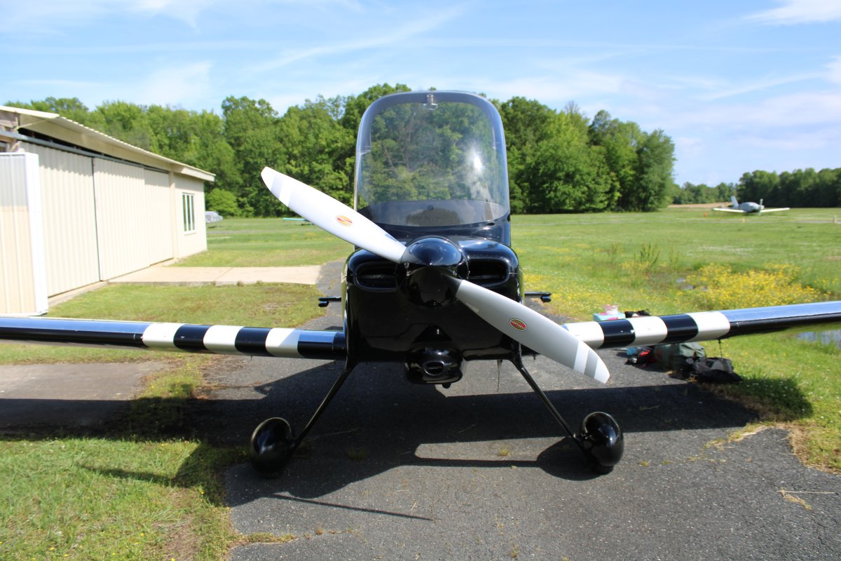
May 27, 2020 - Flight home from Johnson City, TN
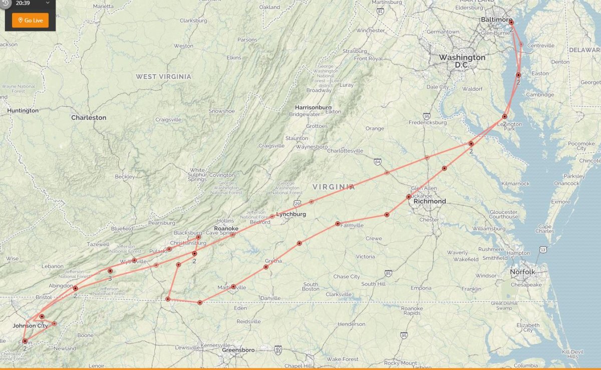
After a few nice days visiting Mom and Susan, it was time to head for home. I knew the weather would be a little iffy -- low ceilings -- around the middle of the trip. But I thought I could make it on the mountain route following Interstate 81, as opposed to getting on the east side of the mountains and the flatlands.
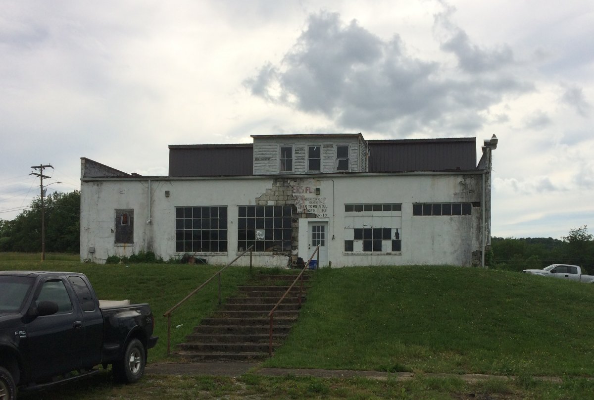
This must have been the old FBO building at Johnson City airport. Those are hangar doors to the right.
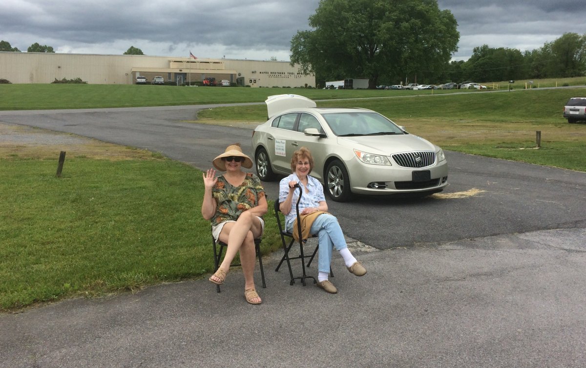
Susan and Mom waiting for the airshow to start.
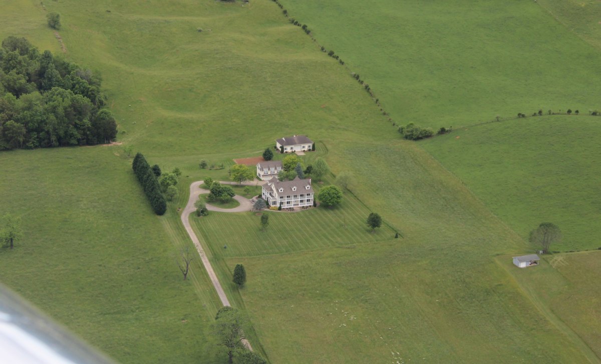
Passing by a big house with lots of open space around it.
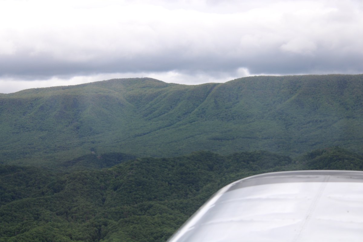
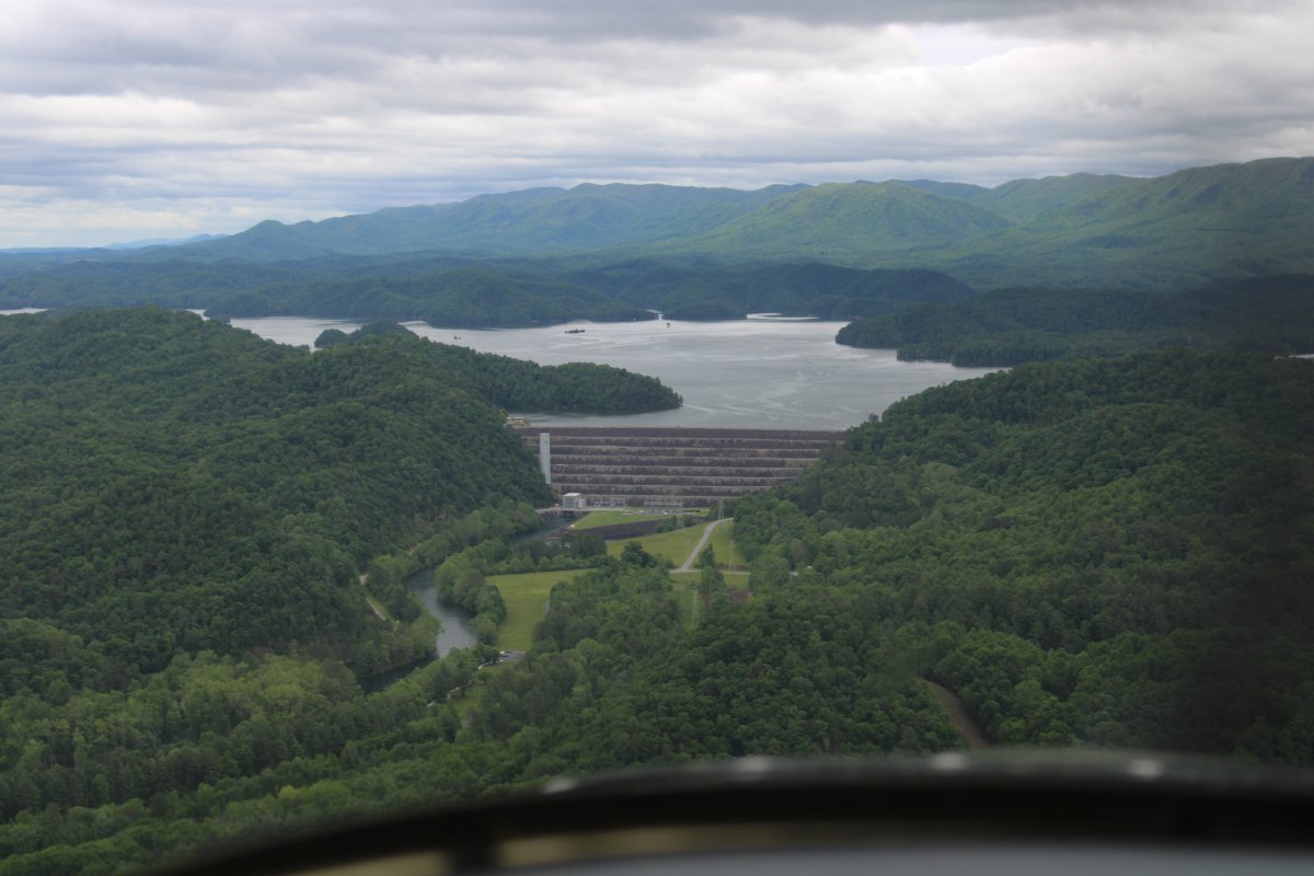
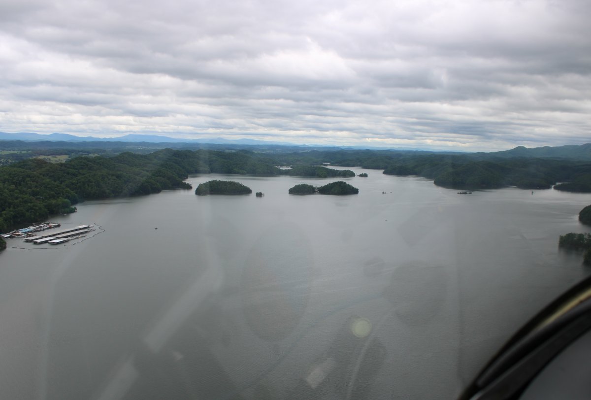
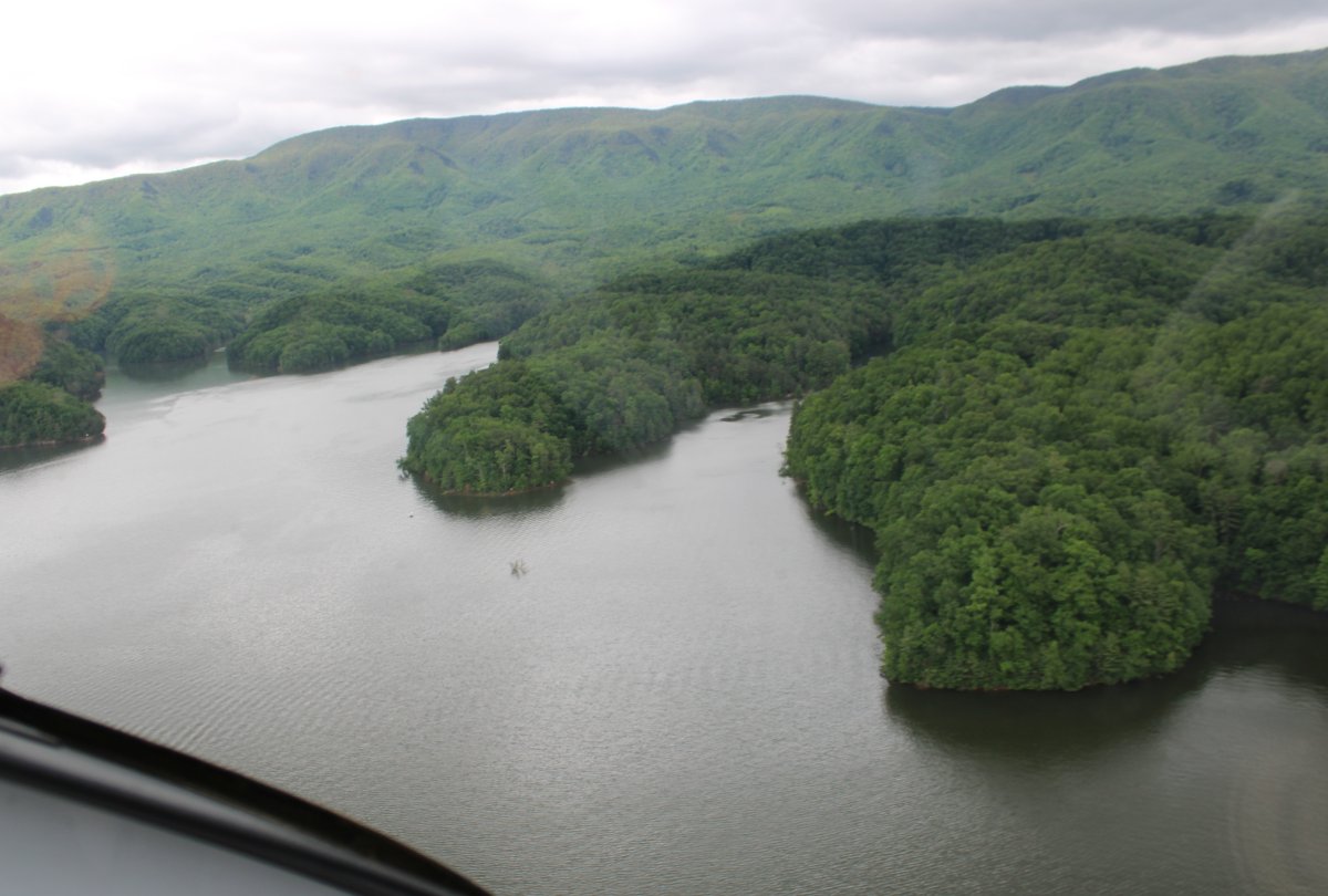
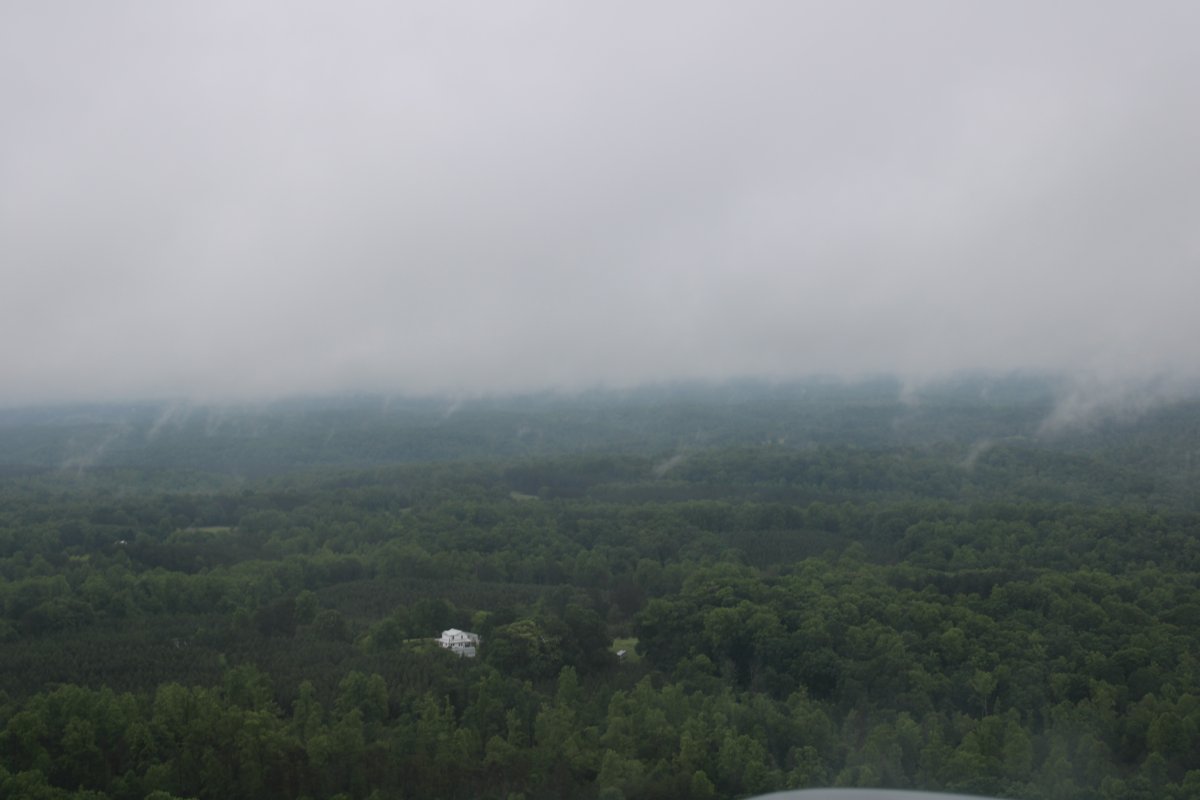
Still fun to fly over.
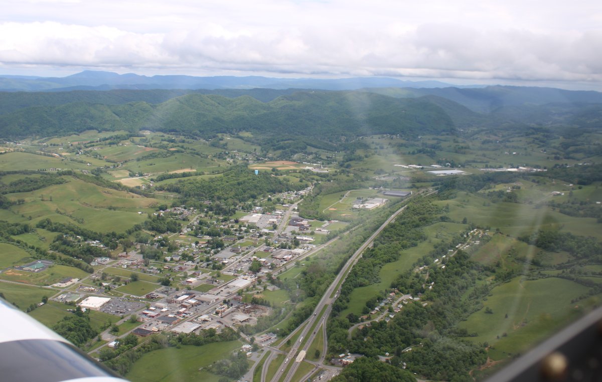
Passing by the town of Chilhowie, Virginia. When we are driving past this town, I always joke with Lynnette that the town is named after the famous glass art sculptor Dale Chihuly. Check out some of his work at the Chihuly Garden and Glass in Seattle. Link (Well, maybe not right now but in a year or so, assuming it hasn't been burned down). The town of Chilhowie has nothing to do with the artist Chihuly, of course.
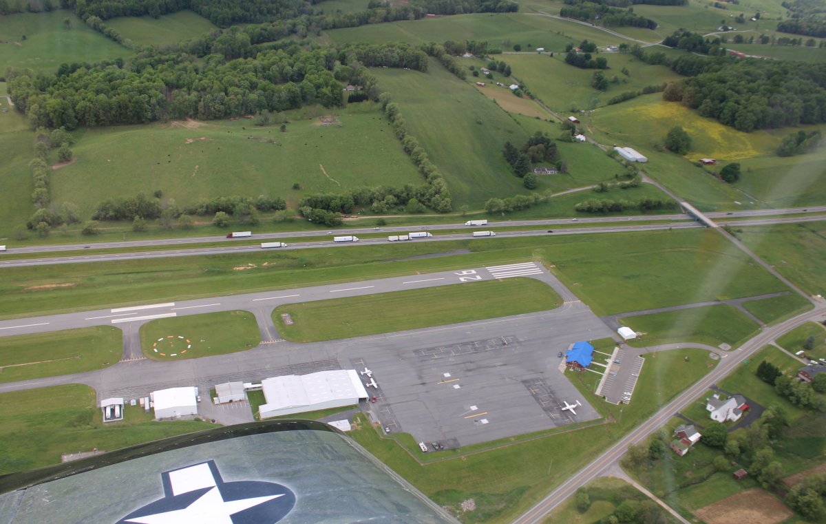
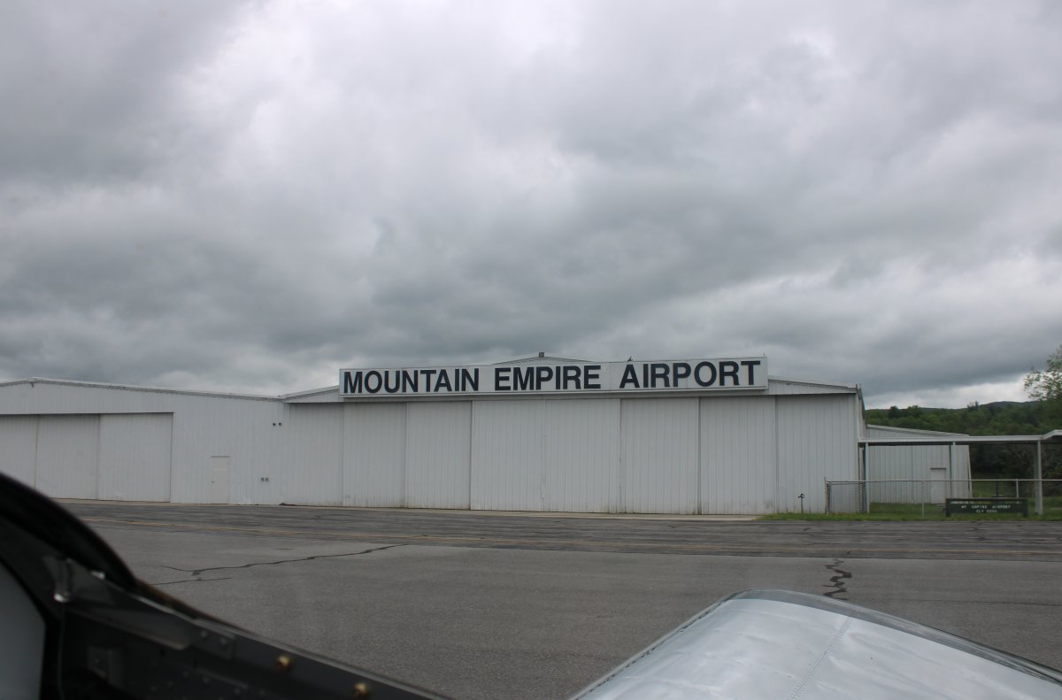
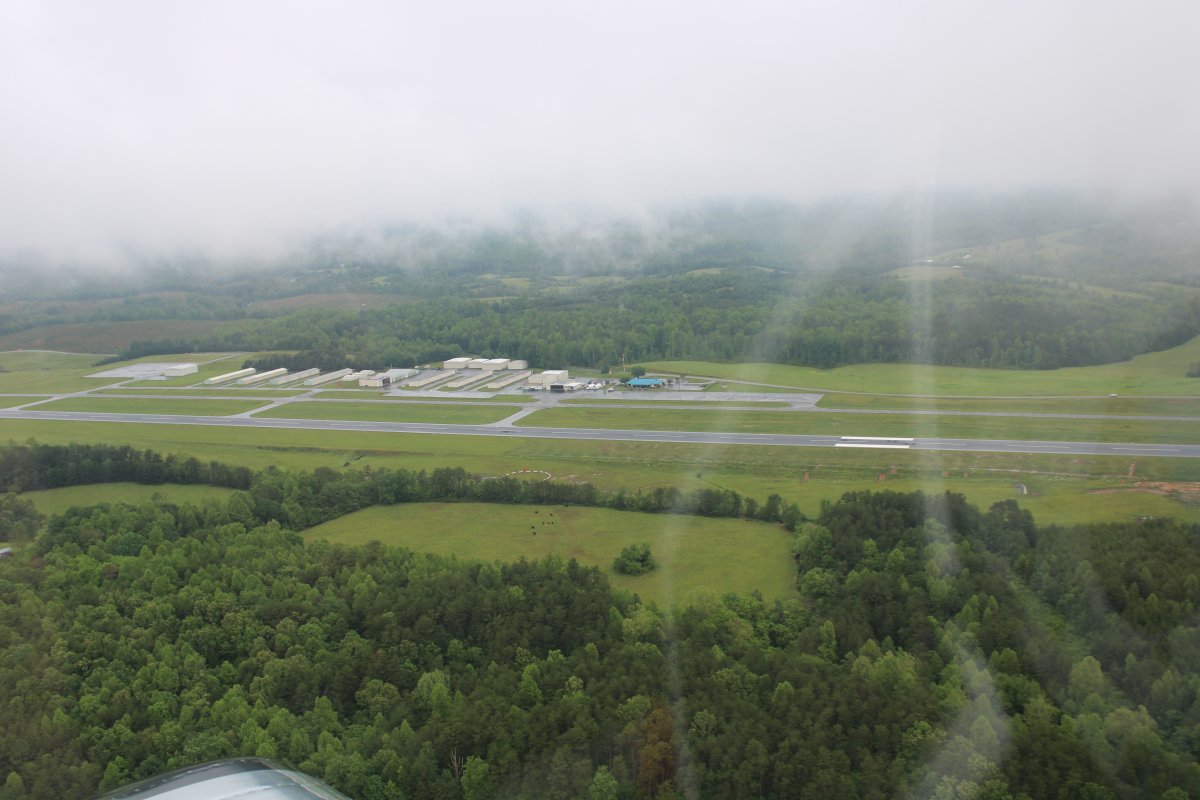
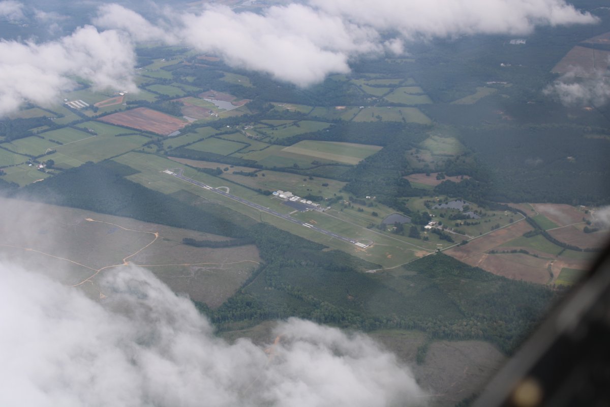
On downwind at one of my favorite airports -- Mountain Empire. I stopped to fill up with gas and talk with the Brian the airport manager.
Notice how Interestate 81 runs right by the runway.
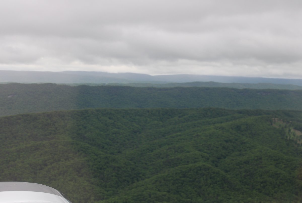
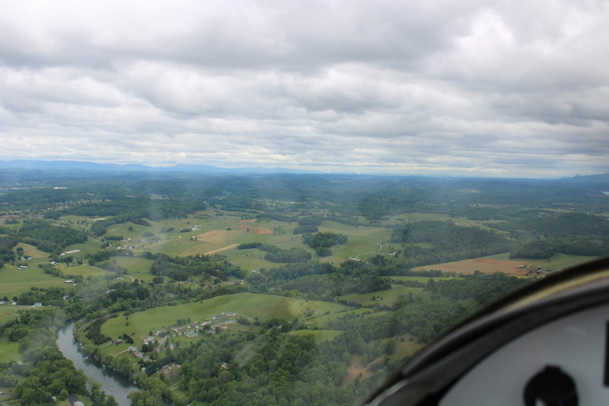
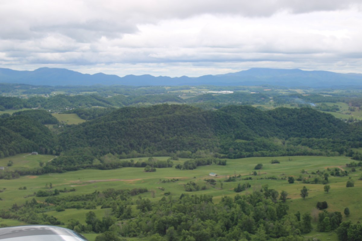
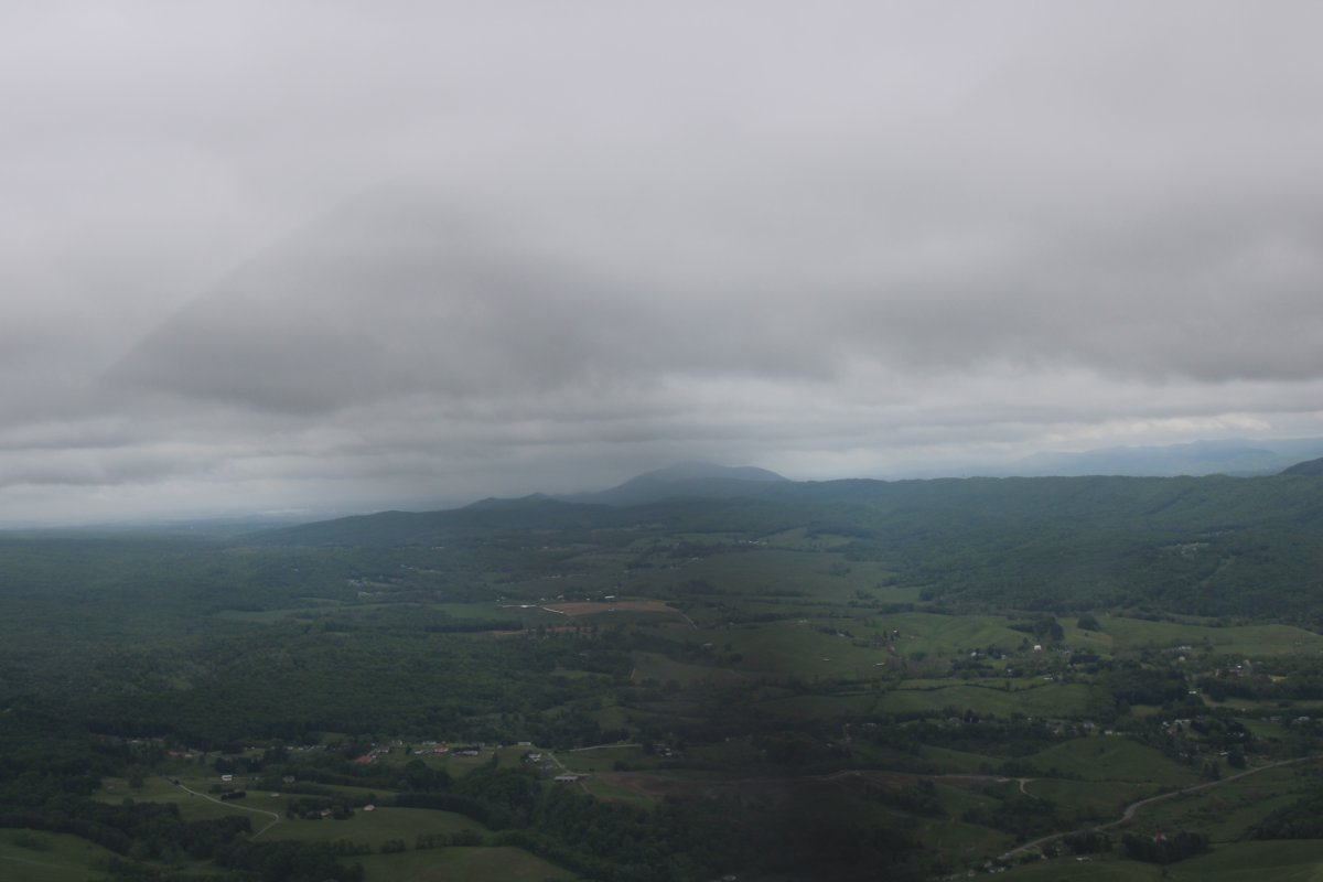
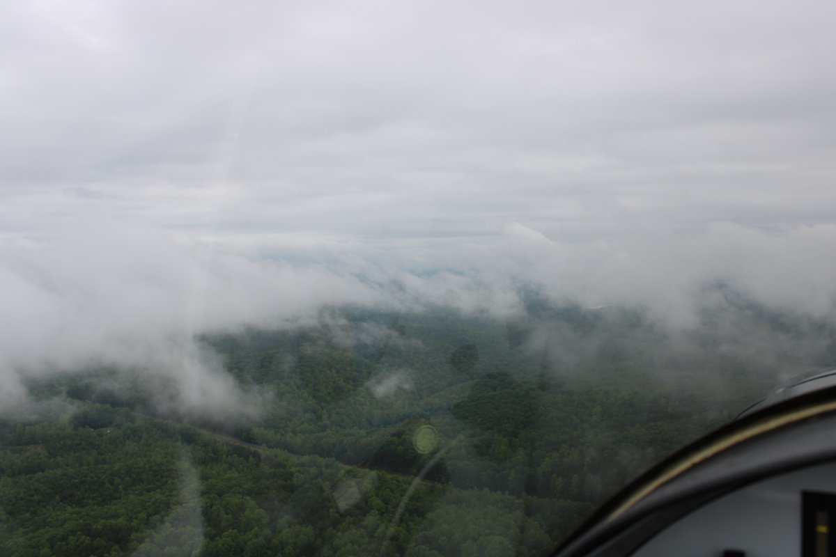
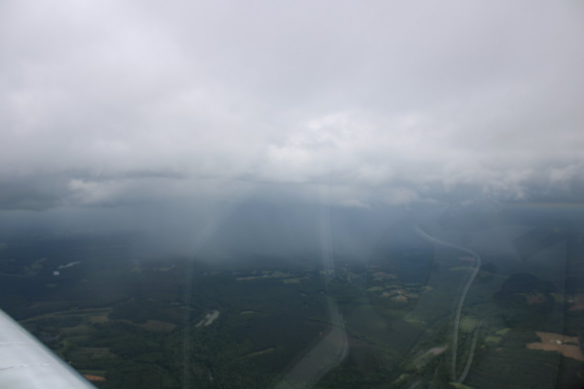
The ground continued to rise and the ceiling got lower.
I thought I would have to return to Johnson City, but after awhile it looked like I might be able to head south and get over the mountains. The flatlands were really not that far away: 10-20 miles. So that's what I ended up doing. Once on the other side of the mountains, the ceiling was still low but doable. Here I'm passing Blue Ridge Airport (KMTV). It looks worse than it was and in a few minutes the weather began to improve.
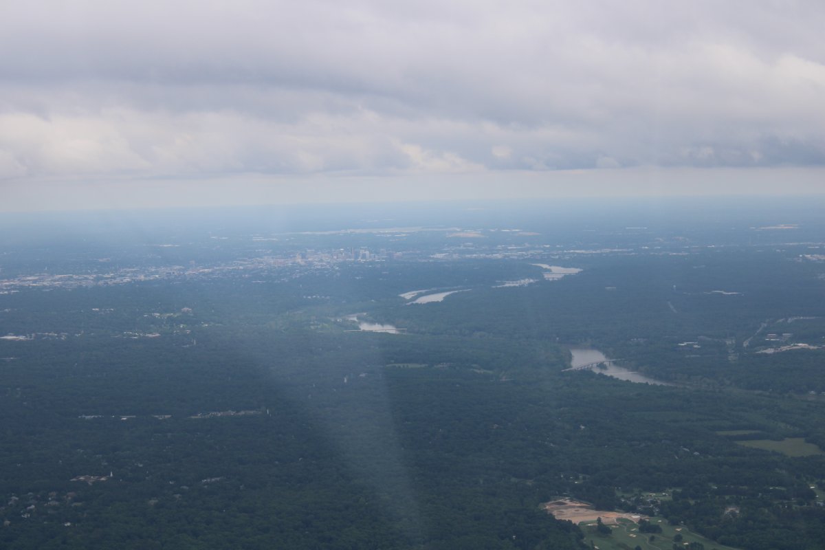
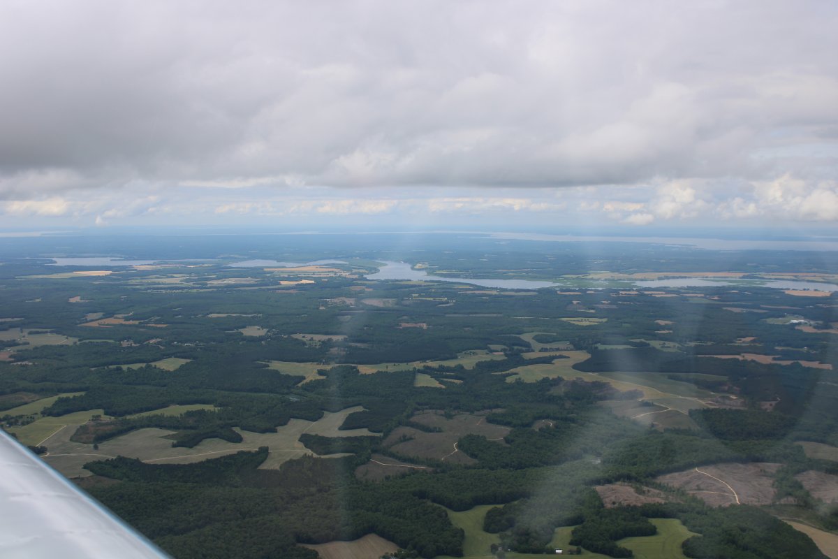
Looking at the James River and Richmond to the southeast.
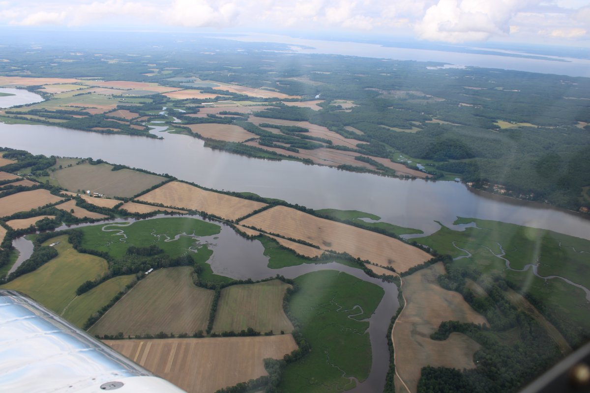
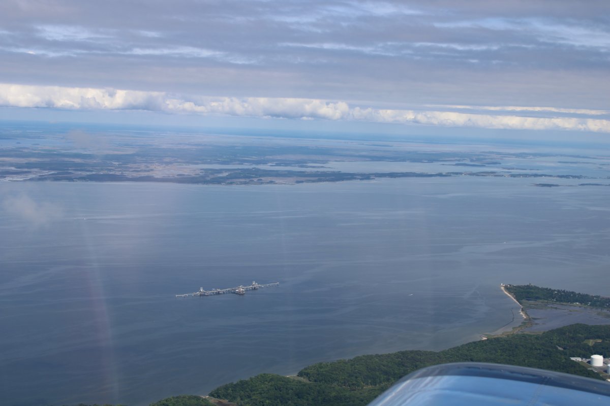
Approaching the Rappahannock River.
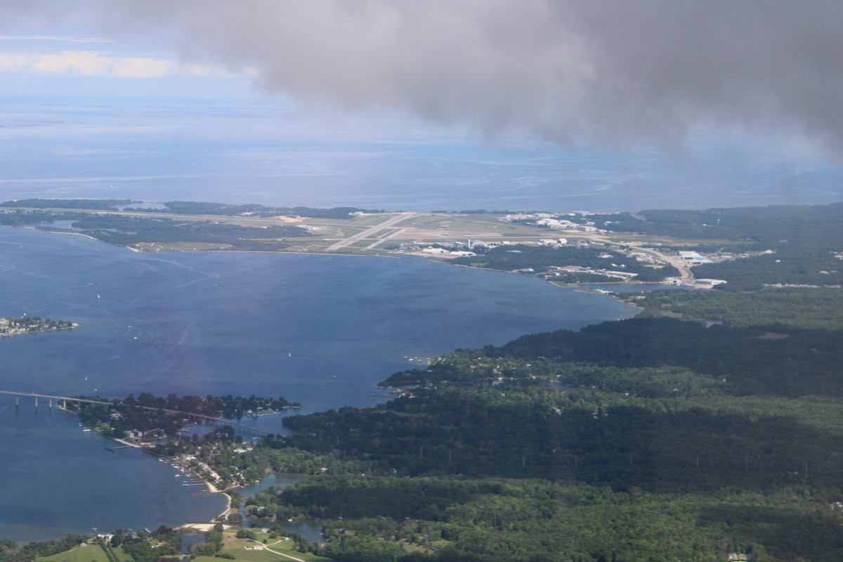
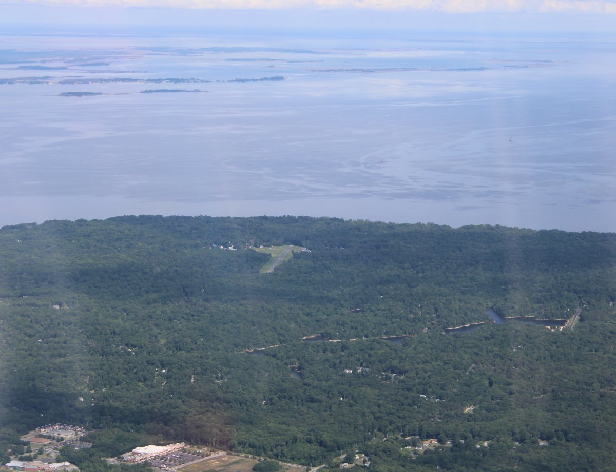
Visibility is much better than when I came down. Now Patuxent River Naval Air Station is very visible.
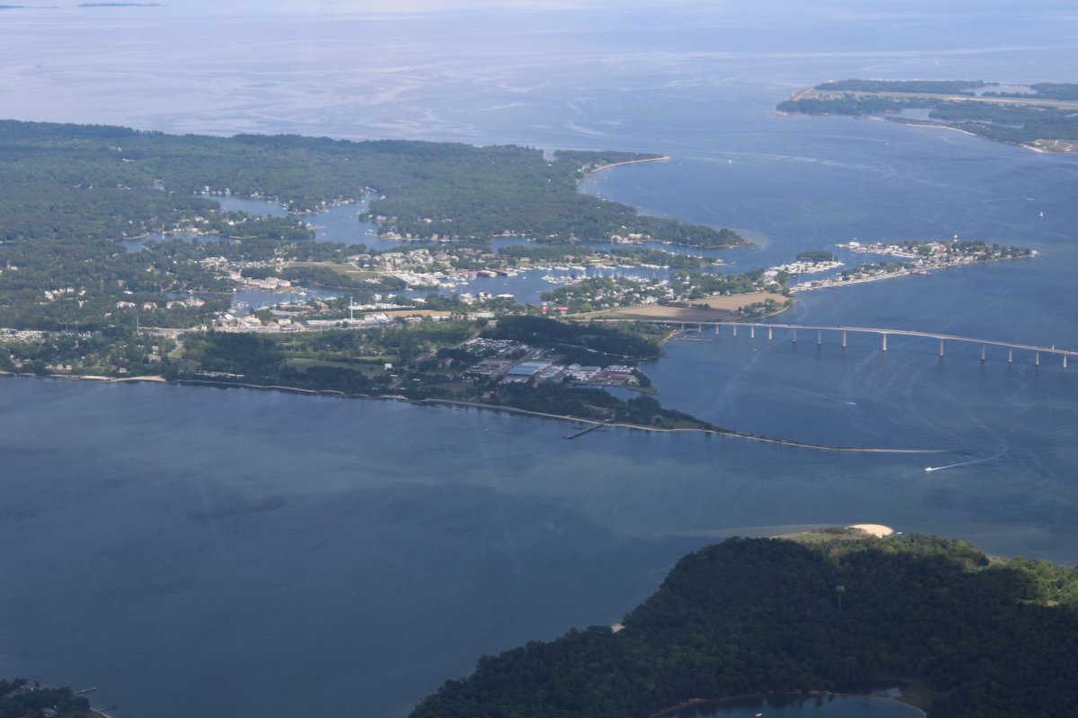
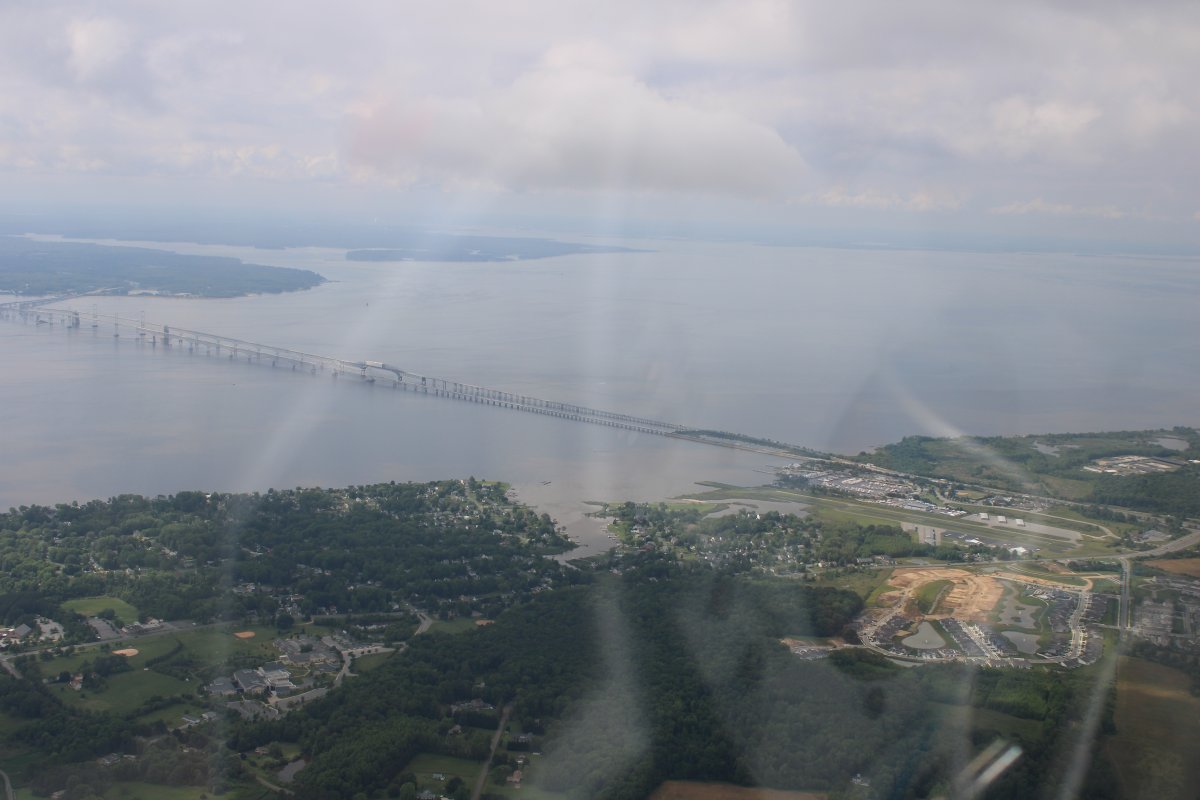
The obligatory shot of the Bay Bridge as I get close to home.
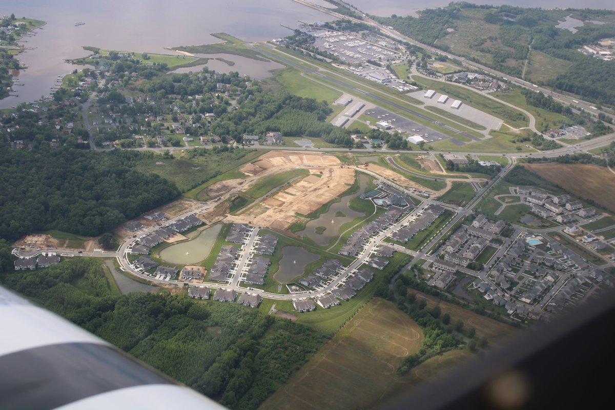
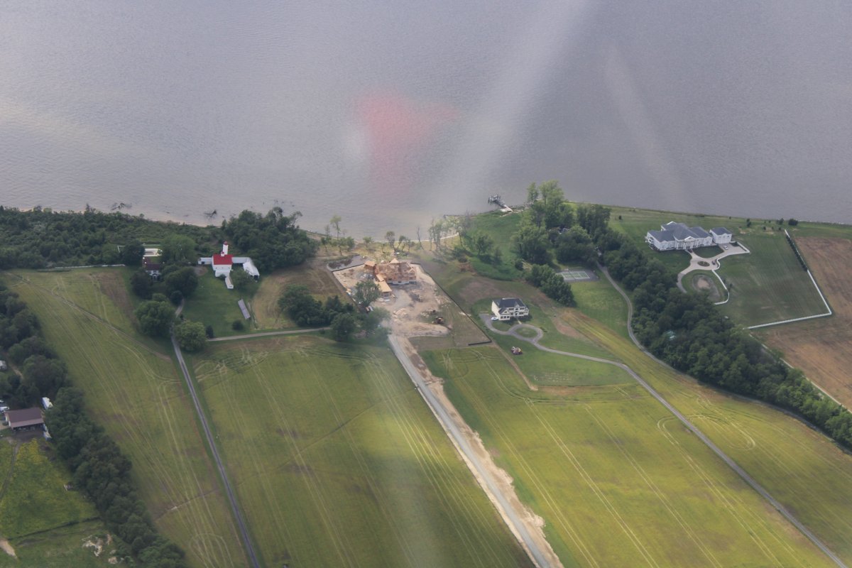
Looking down at Bay Bridge Airport and a new community being built.
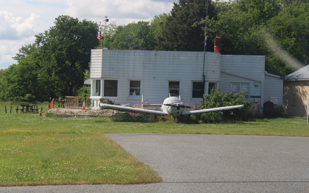
The Essex Skypark FBO building looks about the same as the one at Johnson City airport.
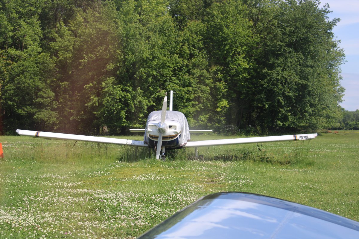
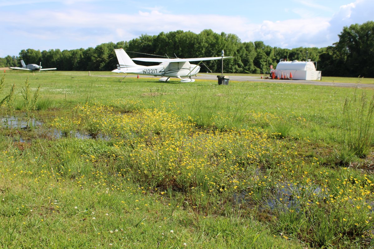
Spring splendor at Essex Skypark.